Precision Topographic Surveys, On Land & Underwater
From highways to airports, rivers to industrial corridors — we map every terrain with accuracy, speed and reliability using LiDAR, Drone, DGPS, Total Station & SONAR technologies.
24+ Years
Experience across major infra sectors
1189+ Projects
Delivered for PSU, MNC & govt. clients
75,000+ Km
Surveyed across India
2–5 cm
Survey accuracy with DGPS-RTK
A multi-technology approach for unmatched accuracy
We don't rely on a single method. Every terrain gets the right combination of sensors — ensuring reliable, engineering-grade results on every project.

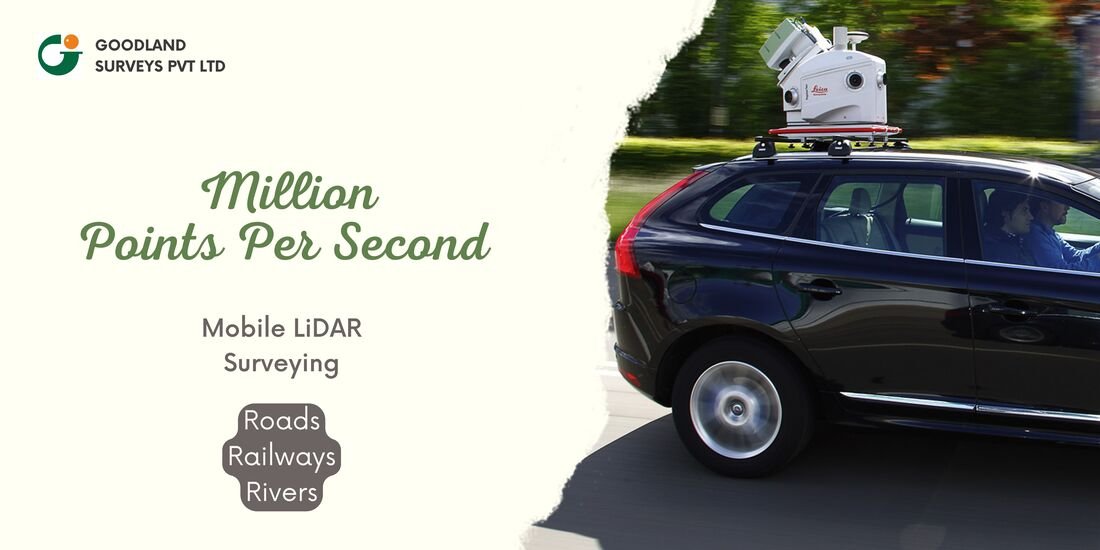
Mobile & Handheld LiDAR
Vehicle, rail and handheld-mounted scanning for dense, survey-grade point clouds.
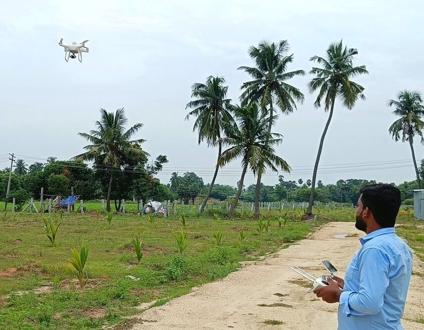
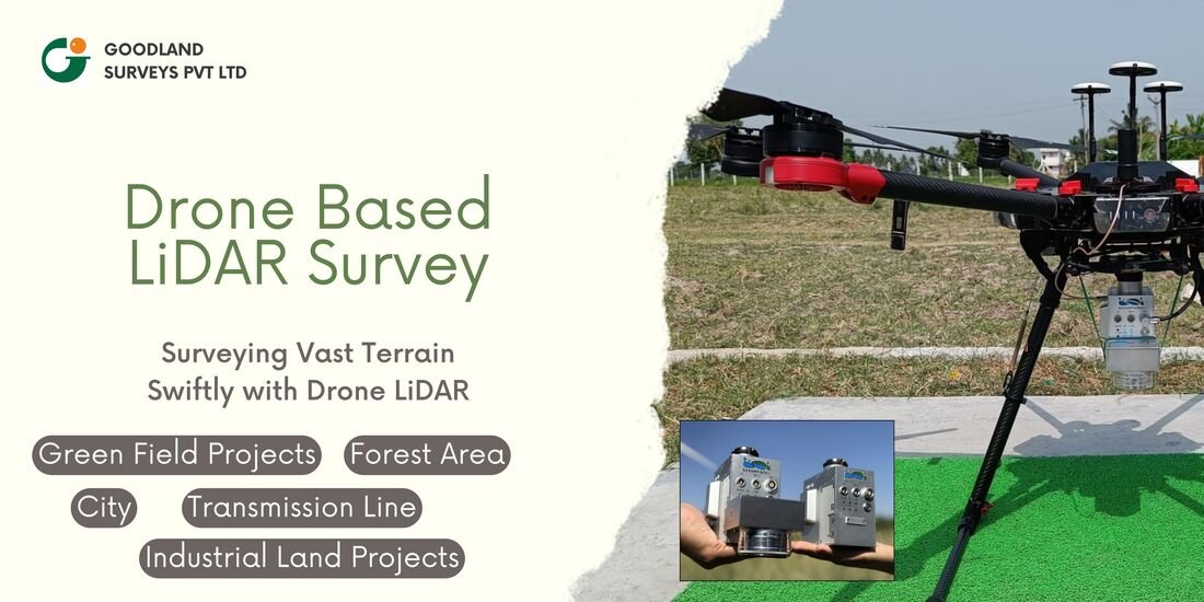
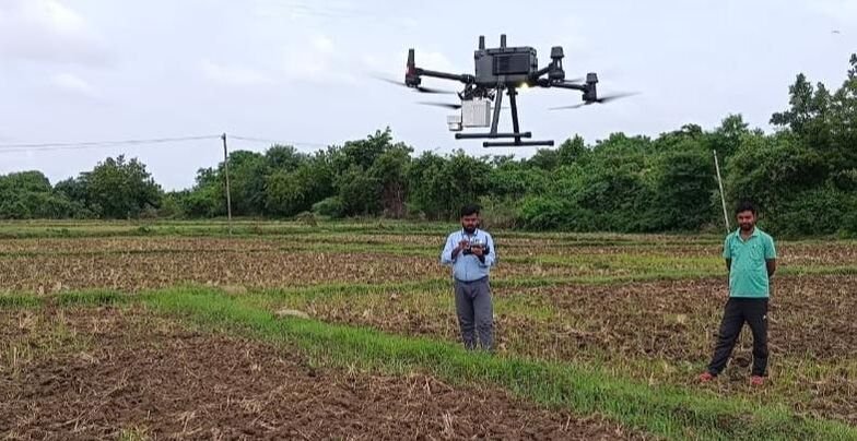
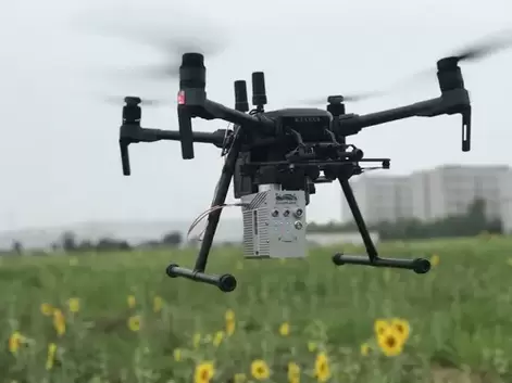
Drone LiDAR & Photogrammetry
Aerial mapping for corridors, greenfield alignments and large land parcels.
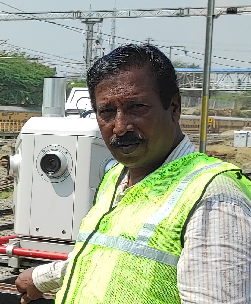
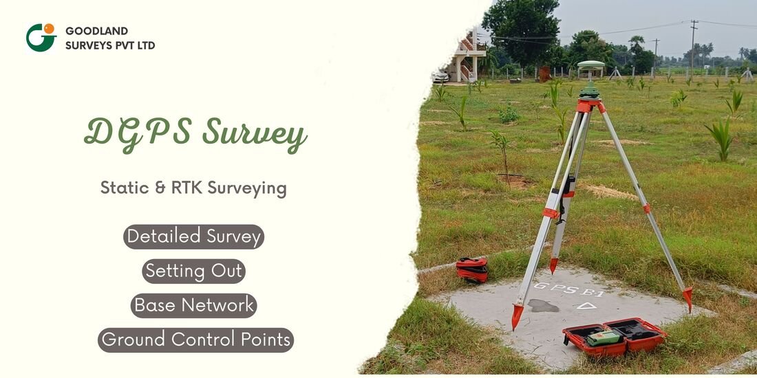
DGPS – Static & RTK Surveying
Centimeter-level ground control points for every survey deliverable.
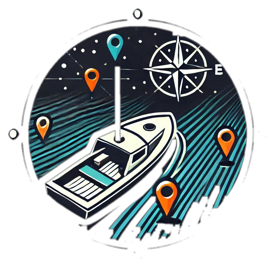
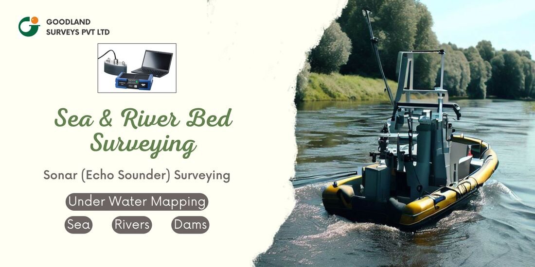
Bathymetry (SONAR) Survey
Dual-frequency echo sounding for rivers, lakes, ports and coastal zones.

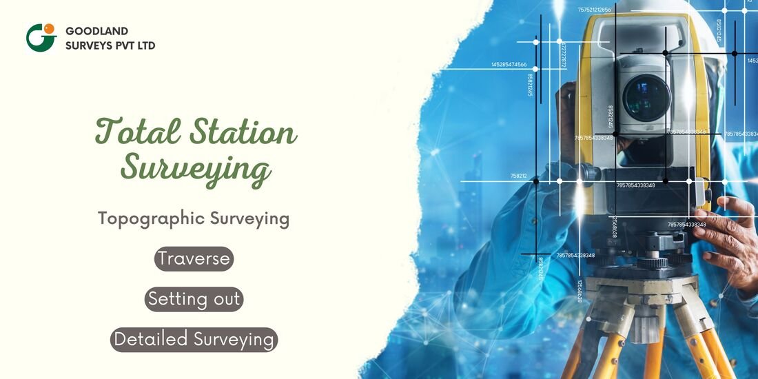
Total Station Survey
Robotic & manual total stations for construction staking and as-built surveys.
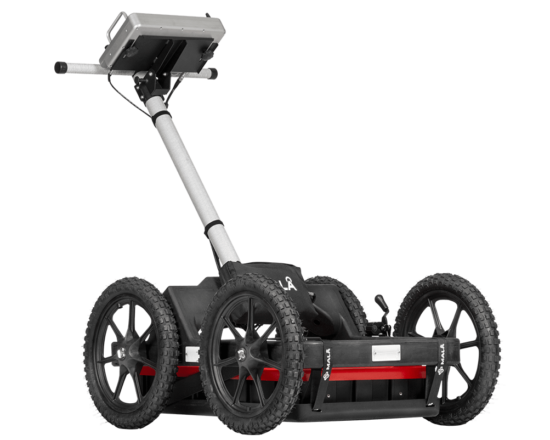
GPR – Ground Penetrating Radar
Fast, non-invasive detection of underground utilities, pipes and cables.
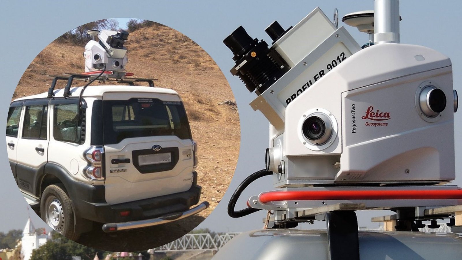
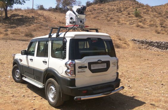
Vehicle-mounted mapping at highway speed
Leica Pegasus:Two systems capturing dense point clouds & 360° imagery — no lane closures, no traffic disruption.
- GNSS/INS positioning, centimeter-level accuracy
- Rapid corridor coverage without disrupting traffic
Engineering precision, backed by 24+ years in the field
Goodland Surveys Pvt Ltd and Goodland Geospatial & Consultants Pvt Ltd deliver end-to-end survey solutions — from raw data capture to final CAD/GIS deliverables — for India's largest infrastructure programmes.
- Multi-technology surveys — not just drone mapping
- 2–5 cm accuracy with validated control points (DGPS-RTK)
- LiDAR for dense vegetation, buildings & night operations
- Underwater mapping using SONAR-based bathymetry
- End-to-end output: Point Cloud → CAD Drawings → Reports
- Fast turn-around with assured quality
DEM / DSM
Digital elevation & surface models
Point Cloud
Classified, survey-grade LiDAR data
CAD / GIS
Topographic maps & contours
Bathymetry
Underwater profile charts
Trusted across India's core infrastructure sectors
Highways & Expressways
State & national highways, greenfield bypasses, ring roads.
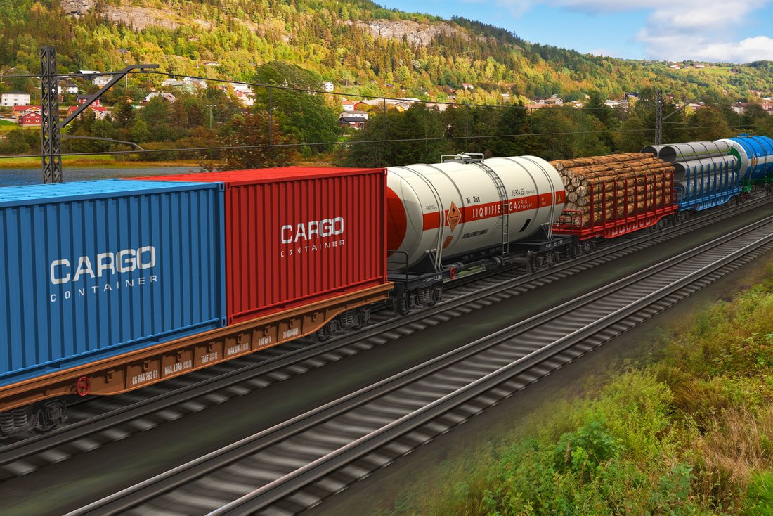
Railways
Route survey, final location survey, feasibility & reconnaissance.
City Planning & Metro
Smart cities, water & sewage projects, metro rail, ring roads.
Bridges & Structures
Underpasses, causeways, culverts, pavement analysis.
Airports & Ports
Airport land survey, port & coastal mapping.
Marine & Bathymetry
Rivers, bridges, marine & waterway bathymetric survey.
Irrigation & Dams
Irrigation projects, dams, canal alignment surveys.
Industrial & Utilities
Industrial areas, SEZs, pipelines, OFC cable routes.
What you get from us
Projects delivered with awesome clients
Jammu & Kashmir
Srinagar Bypass
Bypass project mobile LiDAR corridor survey.
Madhya Pradesh
Indore Eastern & Western Bypass
Greenfield bypass alignment survey.
Chennai, Madurai, Bhubaneshwar, Cuttack & Bangalore
Metro Rail Projects
Urban metro corridor survey & mapping.
Erode–Karur, Karur–Dindigul, Tindivanam–Pondicherry
Railway Doubling & New Lines
Route & final location survey.
Tamil Nadu
Nagapattinam–Thoothukudi Greenfield NH
Mobile LiDAR & RTK/PPK drone survey.
Himachal Pradesh
Shimla City Roads
Urban improvement plan incl. tunnels & bypasses.
Silchar & surrounding corridors
Assam NH Connectivity
National highway connectivity projects.
TOT Projects
Delhi–Agra & Ghaziabad–Aligarh
Toll-operate-transfer highway surveys.
Pan-India
State & National Highways
24,000+ km of corridor surveys completed.
PSU, MNC & Government Sector Partners
Consulting Engineers & Contractors

Government Sector
Need accurate survey data for your project?
Talk to our survey engineers and get a scoped proposal within 48 hours.
Business Enquiry
Fields marked * are required.
Head Office
"Goodland House", 3/12, Dharmaraja Nagar 4th St, Karambakkam, Chennai – 600 116, Tamil Nadu, India
Call Us
+91 44 2386 0030
93503 17939 · 94440 37663
Email Us
goodlandsurveys@gmail.com
+
Years of Experience
+
Projects Completed
+
Km Surveyed
2–5 cm
Survey Accuracy (DGPS-RTK)