
News & Insights
Project updates, technology notes and company news from Goodland Surveys Pvt Ltd.
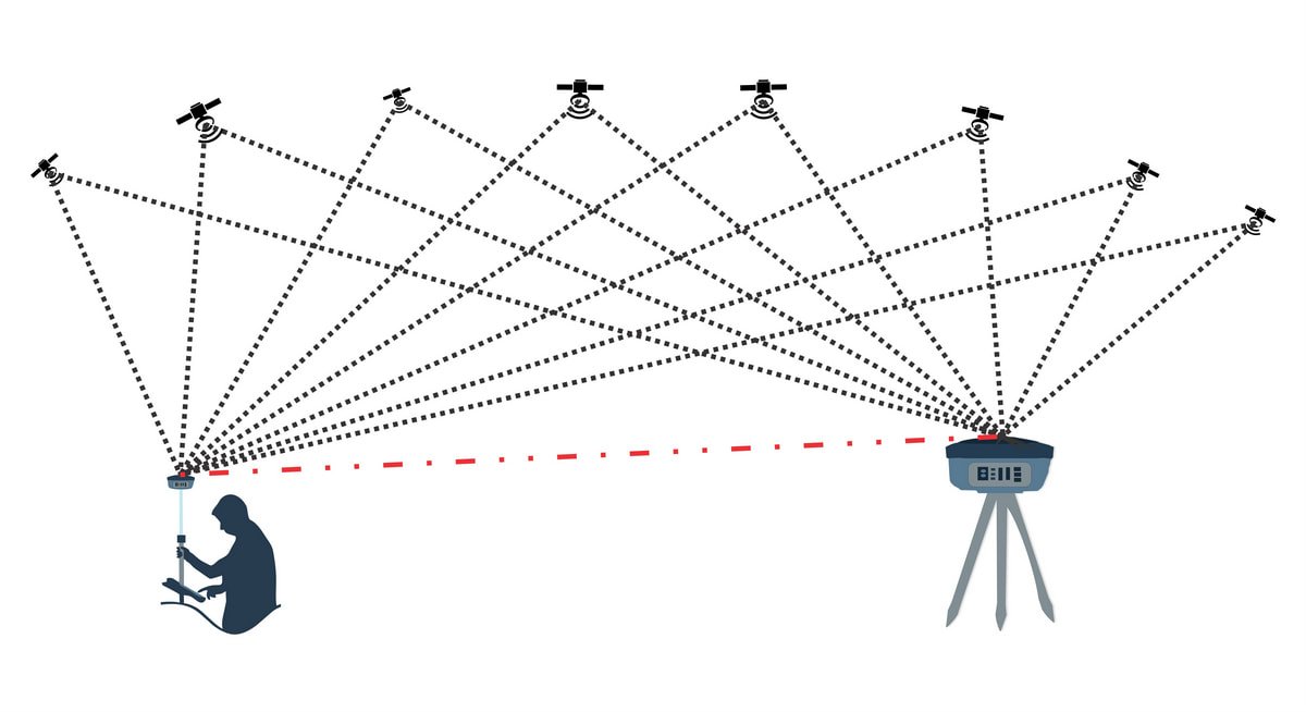
Getting Control Points Right: The Foundation of Every Survey
Every deliverable we hand over — LiDAR, drone or otherwise — traces back to a network of control points established on day one. Here is why that first step matters so much.
Read More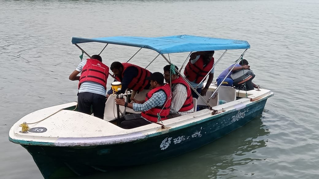
Mapping Beneath the Surface: Our Bathymetry Survey Process
A riverbed or seafloor cannot be seen, but it still needs to be mapped as precisely as dry land before a bridge, port or dredging project can move forward.
Read More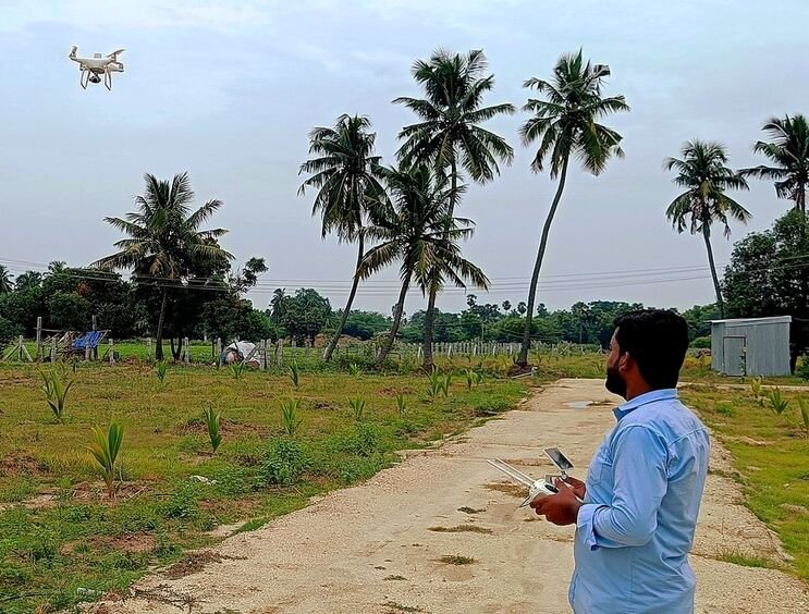
From Aerial Photos to Orthomosaic: Our Drone Photogrammetry Workflow
An orthomosaic looks like a single photograph, but getting there takes a structured RTK/PPK workflow and a careful ground-control check before anything is signed off.
Read More
Inside a Handheld LiDAR Survey
Measuring a running factory or an occupied office without disrupting the people inside it used to mean slow, careful work with a total station. A handheld scanner changes that.
Read More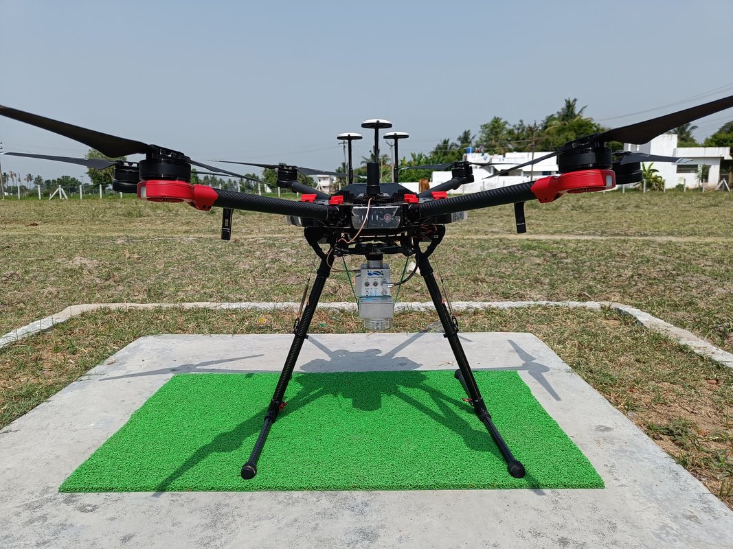
Why Drone LiDAR Works Where Vehicles Cannot
Green-field alignments, hill sections and dense forest cover all share the same problem for a survey vehicle: no way in. Here is how Drone LiDAR solves it.
Read More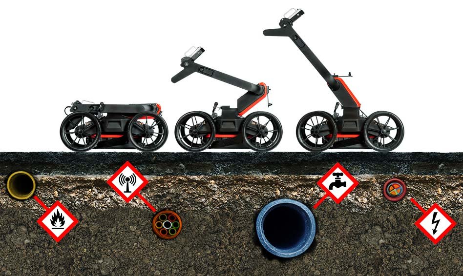
Ground Penetrating Radar (GPR) Survey
An inside look at our Ground Penetrating Radar capability -- equipment, experience and what it takes to map what is underground without excavation.
Read More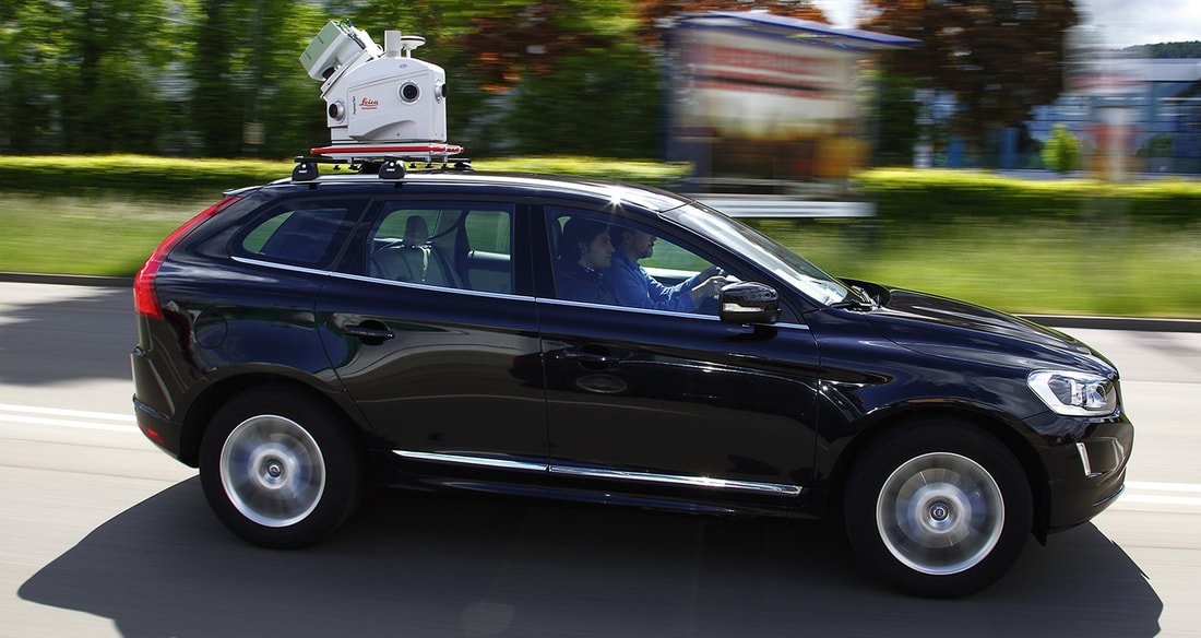
Mobile LiDAR, Leica Pegasus: Two
Two recent projects show what our Leica Pegasus: Two Mobile LiDAR platform can do -- a 140 km railway survey and a 180 km highway survey, both completed in a fraction of the time conventional methods would take.
Read More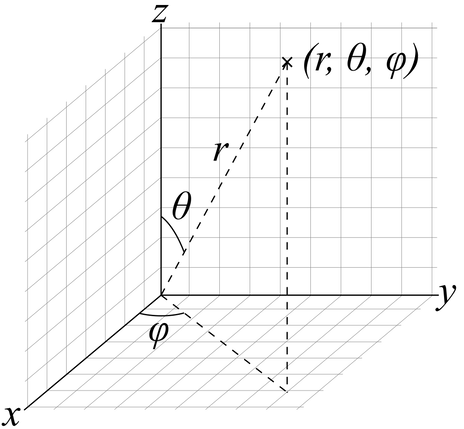
The Surveyor and Plane Coordinate System
A short primer on coordinate systems in surveying -- what UTM projection is, how it divides the world into zones, and why plane versus ellipsoidal coordinates matters for highway design.
Read More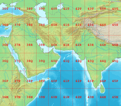
How We Ensure Accuracy Across Every Survey Deliverable
Every survey we run, whatever the platform, passes through the same discipline of ground control and cross-checking before it ever leaves our office. Here is how we keep that accuracy consistent.
Read More