Quality & Process
How We Ensure Accuracy Across Every Survey Deliverable
P.K Samy
·
01 Aug 2022
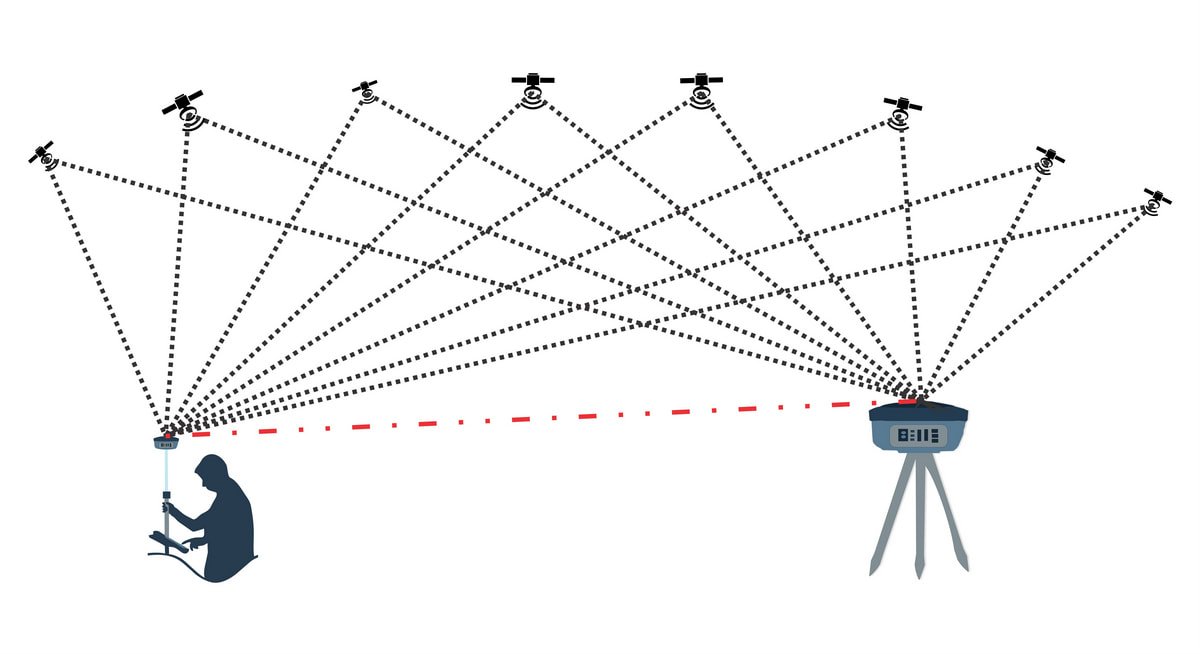
It starts with ground control. Whatever platform is doing the capturing, we tie the data back to fixed control points established by DGPS or Total Station, so every deliverable sits on one consistent coordinate system rather than a set of best guesses. Cross-check lines run perpendicular to the main survey lines let us catch drift or error early, while independent checkpoints validate absolute accuracy once processing is complete.
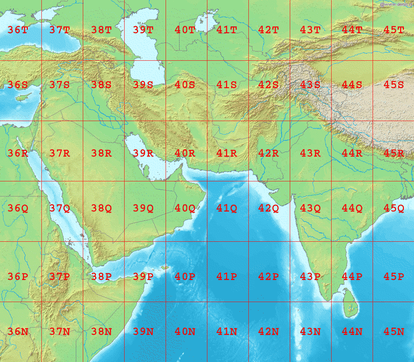
Coordinate system choice matters here too. Most projects run on UTM projection, but the specifics -- zone, datum, projection parameters -- need to be agreed and documented at the start of a project, not discovered midway through. Getting it wrong is a common source of survey rework, and it is one of the first things our team checks before fieldwork begins.
The result is deliverables our clients can build on directly, whether that is a point cloud, a topographic drawing or a set of contours -- checked, cross-referenced and tied to ground control, regardless of which technology captured the data in the first place.