Drone Photogrammetry
From Aerial Photos to Orthomosaic: Our Drone Photogrammetry Workflow
P.K Samy
·
19 Jun 2024
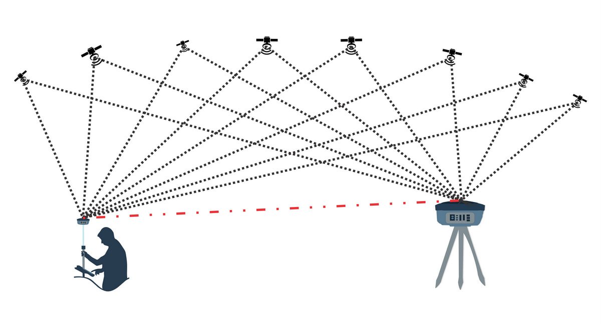
We fly RTK or PPK missions depending on site conditions, with RTK correcting the drone position live over a radio link and PPK reconciling GNSS observations from the drone and a static base station afterward in post-processing. Either way, we still tie the mission to one or two Ground Control Points plus independent checkpoints, purely to validate absolute accuracy before the data is signed off.
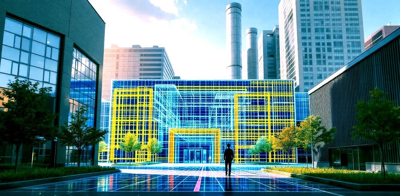
Once captured, the overlapping images are stitched into a single orthomosaic, corrected for lens distortion and terrain displacement so that measurements taken directly from the image are accurate. The same flight also produces a 3D surface model, which feeds into contour generation, volume calculations and CAD-ready topographic drawings. For land planning, agriculture and construction site monitoring, that combination of a visual record and precise measurement data in one deliverable is hard to beat.