Engineering Surveying
Getting Control Points Right: The Foundation of Every Survey
Selva Kumar
·
17 Jan 2025
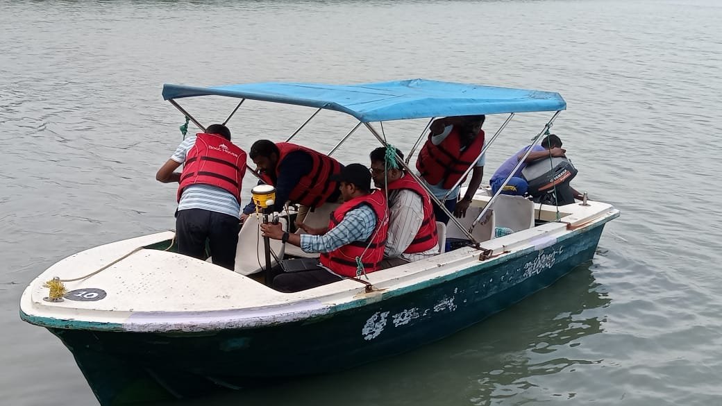
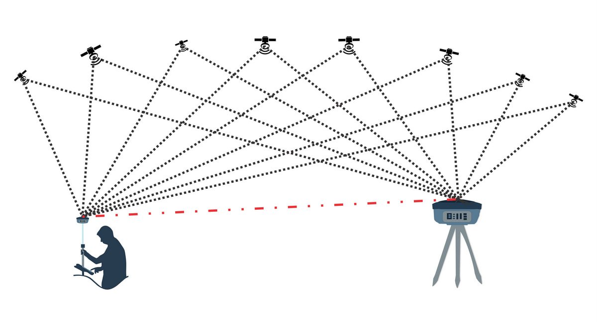
Those control points need to sit in positions that are safe and accessible for repeat visits, but also unlikely to be disturbed once construction begins nearby. Primary control is typically fixed with DGPS for survey-grade accuracy, with secondary points established through RTK DGPS or Total Station traversing, and benchmarks set using Auto Level for reliable elevation reference.
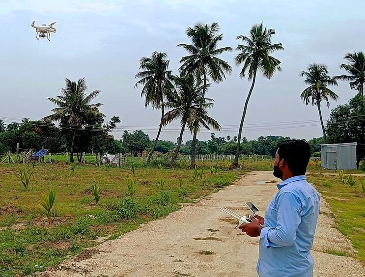
Get this step wrong, and the error propagates into everything downstream — a LiDAR point cloud, a drone orthomosaic and a topographic drawing can all look precise while actually being subtly misaligned. Get it right, and it becomes the common thread that lets us combine Mobile LiDAR, drone survey and conventional instruments on the same project with confidence that everything lines up.