Bathymetry Survey
Mapping Beneath the Surface: Our Bathymetry Survey Process
P.K Samy
·
04 Oct 2024
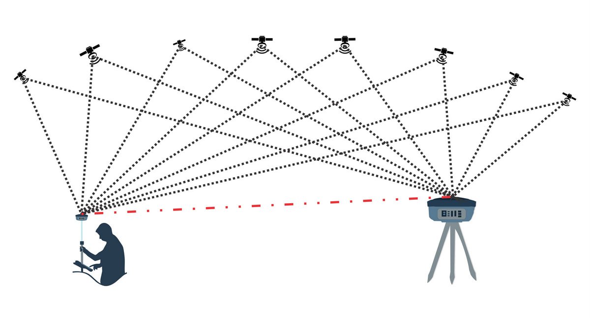
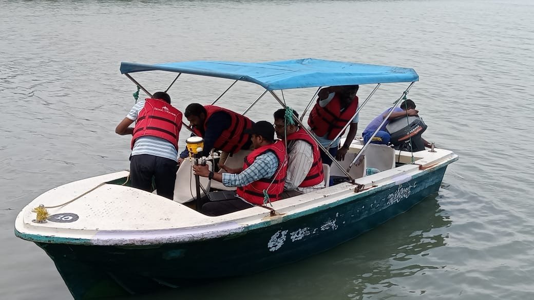
The process starts on land, with control points and benchmarks established the same way they would be for any engineering survey. From there, we plan survey lines to give systematic coverage of the waterbody, with cross-check lines run perpendicular to validate consistency. The vessel then runs each line at a controlled speed while the echo sounder logs continuous depth readings against DGPS position.
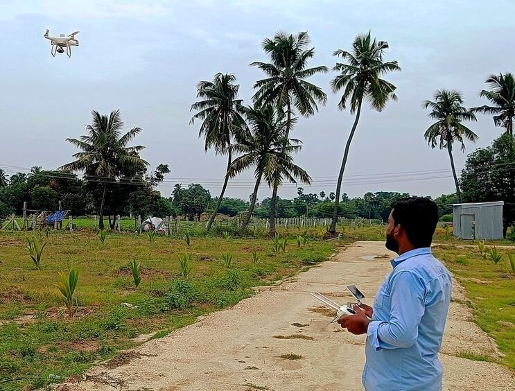
Where a project includes islands, banks or structures a boat cannot reach, we fill in that gap with drone photogrammetry tied to the same ground control, so the underwater and above-water data sit on one consistent terrain model. The result supports everything from dredging volume calculations to bridge and port planning, without ever needing to see the riverbed directly.