Drone LiDAR
Why Drone LiDAR Works Where Vehicles Cannot
Selva Kumar
·
01 Nov 2023
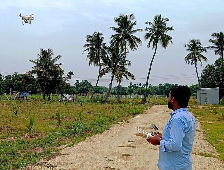
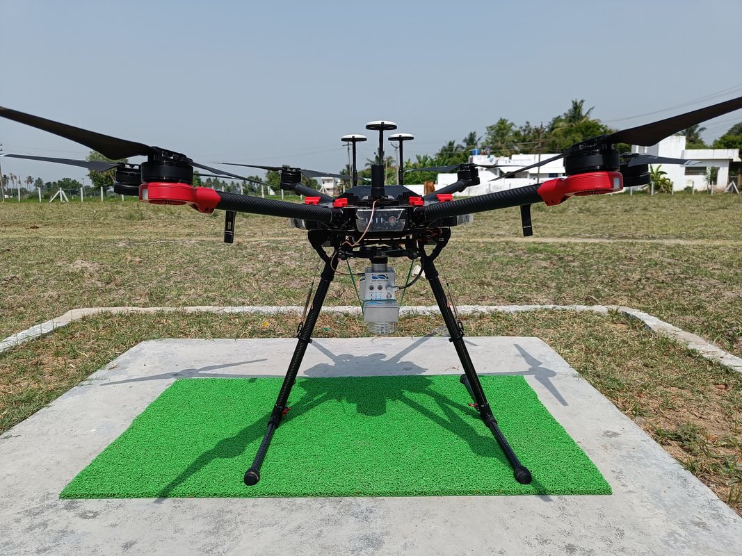
By mounting the LiDAR sensor on an aircraft instead of a vehicle, we remove the access constraint entirely. The drone simply flies the corridor, and because LiDAR is an active sensor, it punches through vegetation cover in a way a camera cannot, returning ground-level data even under a forest canopy.
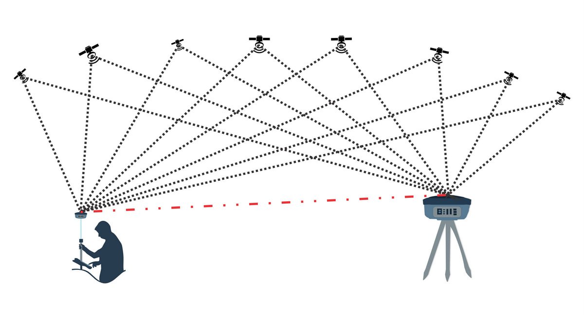
We tie every mission to Ground Control Points and independent checkpoints to keep the output at survey grade, then combine it with drone photogrammetry where a project calls for both a dense point cloud and photo-realistic imagery in the same pass. For green-field alignments and proposed bypasses in particular, this has become our default recommendation over ground-based methods.