Mobile LiDAR
Mobile LiDAR, Leica Pegasus: Two
P.K Samy
·
05 Aug 2022
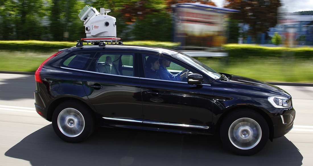
On a recent assignment, we surveyed the Erode-Karur-Dindigul railway track -- a 140 km corridor -- completing the entire fieldwork in 45 days, a fraction of what a conventional ground survey crew would need.
On a separate national highway project, we mapped 180 km of the Delhi-Palwal-Agra corridor with just 7 days of fieldwork, again using the Pegasus: Two platform to capture dense, survey-grade point cloud data along the entire route.
Both projects highlight why Mobile LiDAR has become our platform of choice for long linear corridors -- highways, railways and similar infrastructure -- where conventional survey methods simply cannot match the speed without sacrificing accuracy.